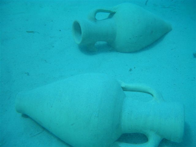
The excavation site
|
|

|
|
|
The initiating training course of subaqueous archeology was made on a fake excavation site located at a depth between 8 and 10 meters.
|
||
The topological statement
As we had studied two methods of statement in the morning, we had to put them into practice in the afternoon.
So first briefing on the deck of the Scola Maris (SEAS' boat). On the way, Arnaud made up teams and told us what part of the excavation site we would have to work on.
Then he let us organize ourselves for the diving details: the order of the measures, the role of each diver... After that, we prepared our equipment and the drawing grids.
Next we began diving and discovered the place. Everybody knew that this first dving wouldn't be as productive than the next ones: orientation trouble, some difficulties in staying well-balanced
due to the little depth of the excavation site and because we hadn't been diving for a long time. But with a lot of signs and helped by our compasses, we managed to begin the work.
Following the order of the tasks we had defined during the briefing, first we measured the length of the line, then the position of the most important points of some amphoras and a drawing grid
going from the line. Between the measures I took some photos.
We went back to the Scola Maris after diving for 40 minutes, the temperature of the water was around 25 degres celsus, the visibility was clear, and no accidents had been reported. We packed
our equipment and went back to Saint Florent.
On the way back, we clearly redrew the map of our work area and rewrote all the statements. We already had enough points to draw some amphoras, but not enough
to draw the nails of the shipwreck with the perspective...