Archeology
Archaeology is the study of humans in the past through the remains they leave behind. In this page I will list and explain the archeological operations
that you will learn and perform if you excavate in Castell Henllys.
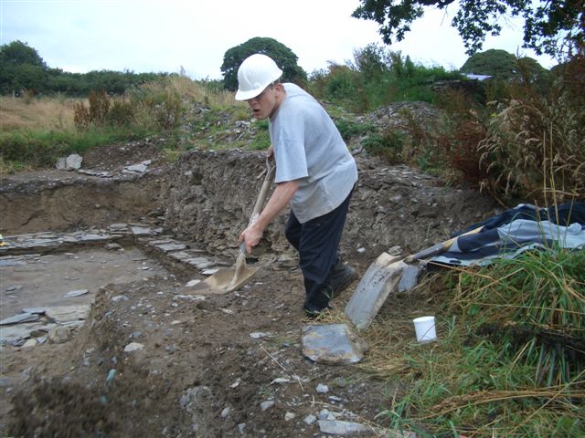
Manual work
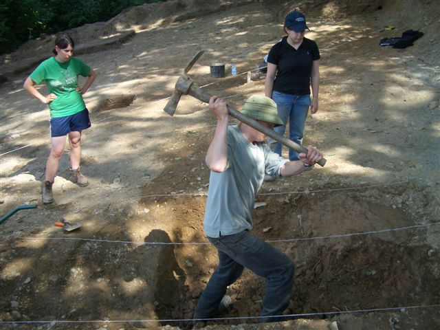
Maticing
|
|
|
|
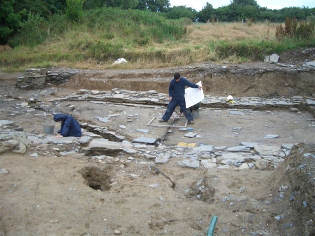
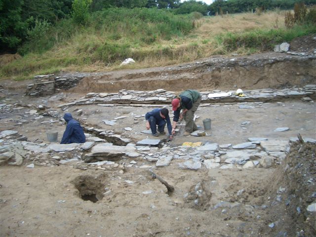
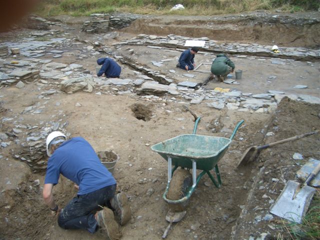
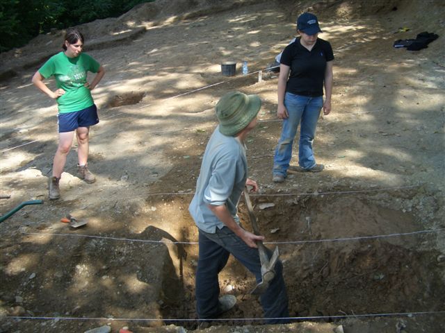
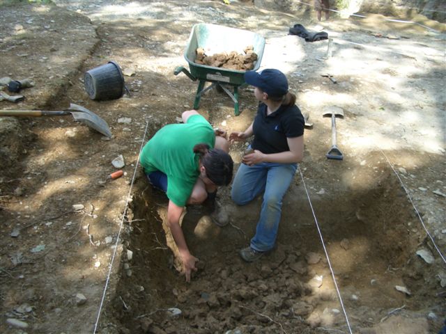
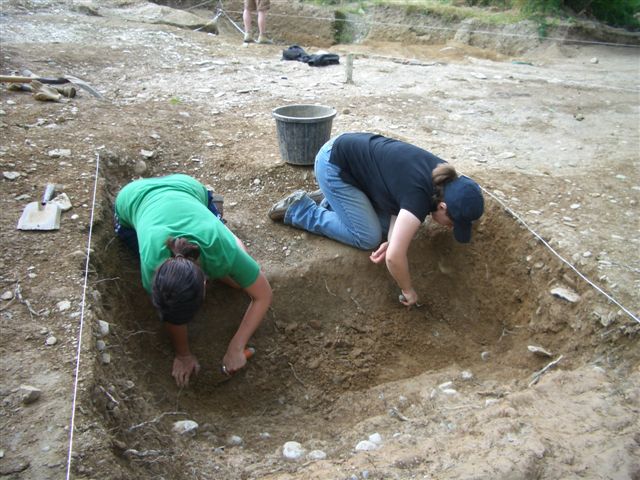
When an archeological area - hole, trench, ditch... - has been spotted, we generally begin by removing its biggest part with the matic.
|
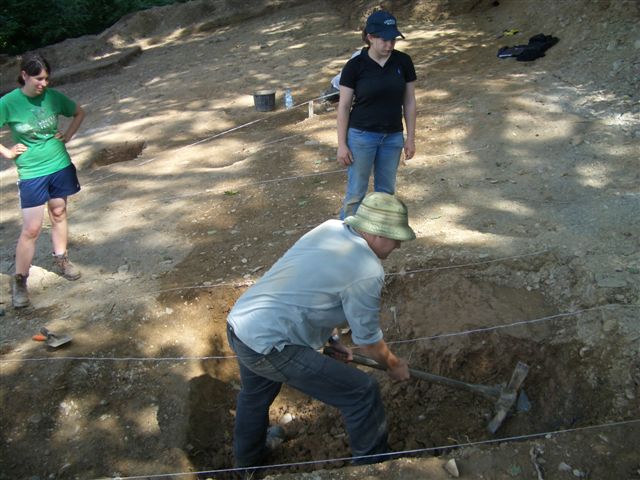
Showelling
|
|
|
|
Regularly we remove the looses with a showel, so we can see what we have done better. If we haven't dug enough, we matic again for a while.
|
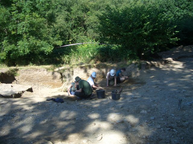
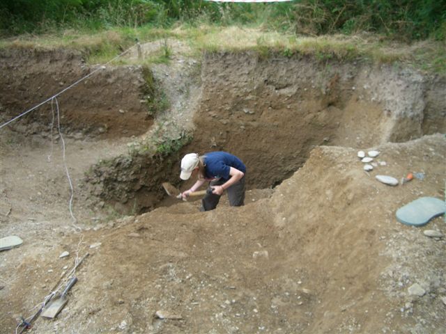
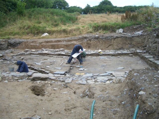
Trowelling
|
|
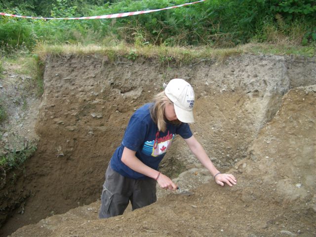
Finally we use the trowel to find the archeological surface without damaging it too much.
Or we clean it to make it flat and homogene.
|
|
|
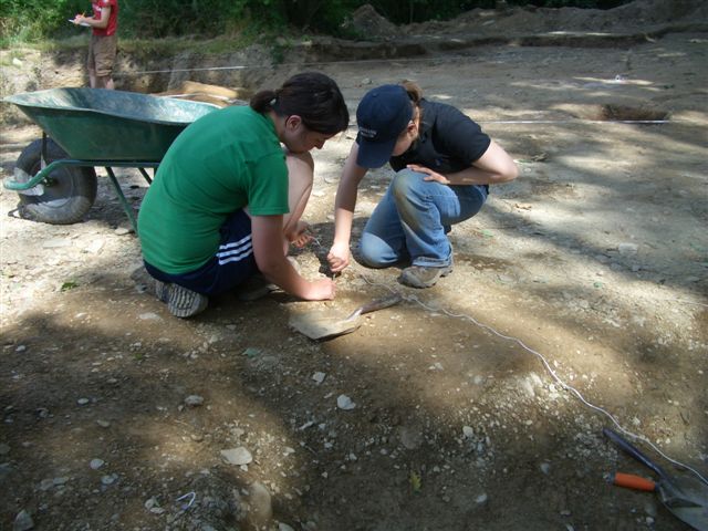
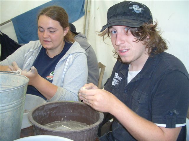
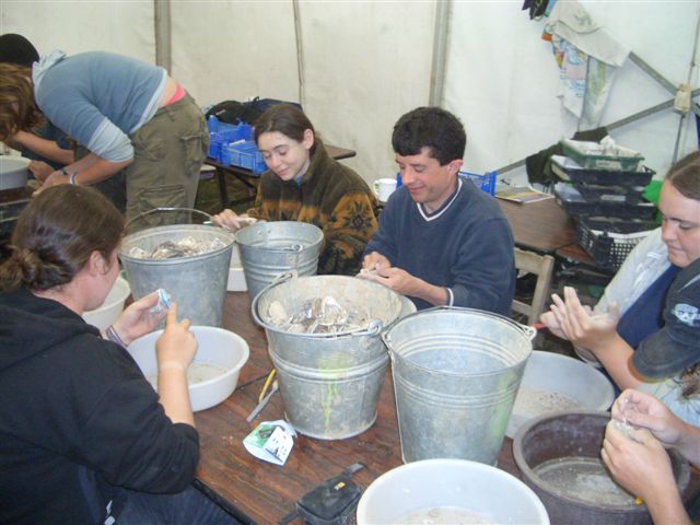
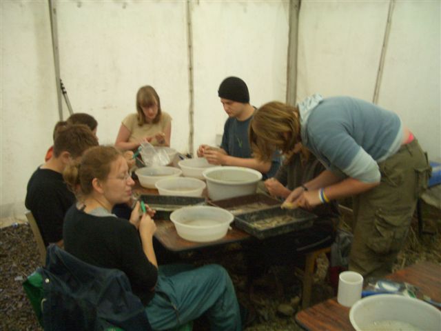
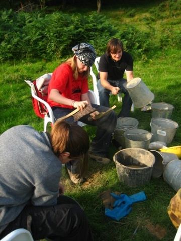
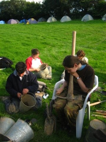
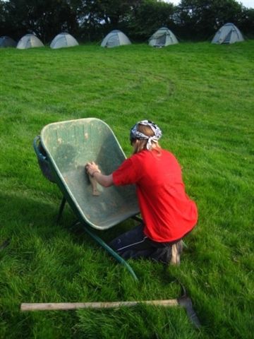
Cleaning
|
|
|
|
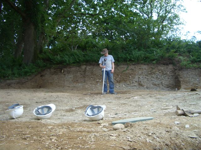
The finds have to be cleaned by a dry brush before we send them to the laboratory for their restauration and conservation.
|
|
|
|
|
The equipment has to be cleaned every year to last longer.
|
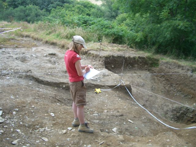
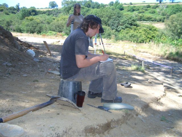
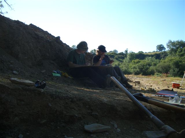
Planning
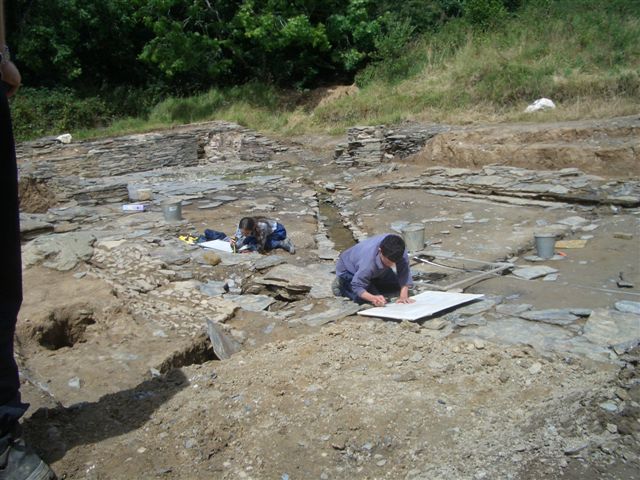
Drawing
|
|
|
|
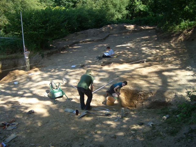
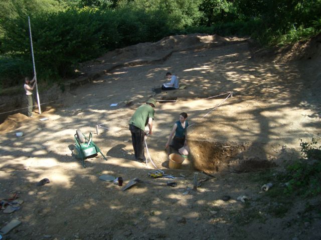
When we are finished with excavated an area, or if we want to keep a trace of it before excavating it further, we make drawings: drawing of a specifing area -
map if it's an above view or section if it's a front view, for trench for examples. For this we use a one meter grid that correspond with the squares of our drawing
board. We draw on permatrace because it is easier to erase on it and it is quite waterproof. We also have a manual that explain us the drawing conventions.
|
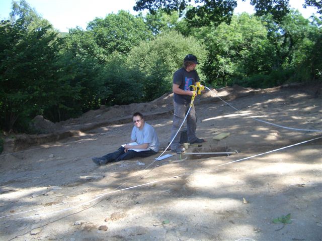
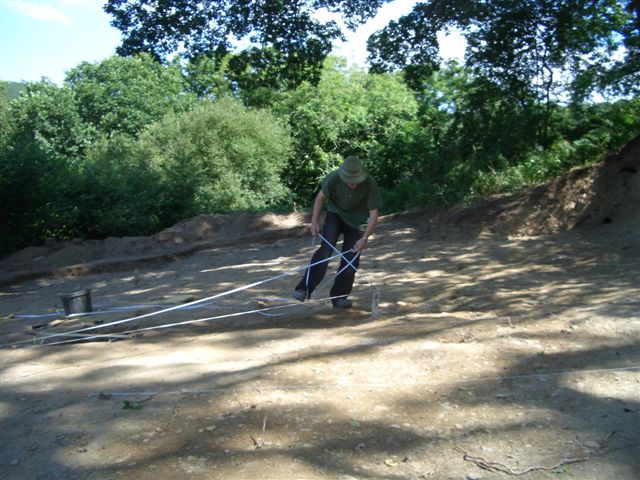
Recording points
|
|
Then we record points with two rolling meters which intersection will give us coordonnees.
We record them in a notebook and on the map itself.
|
|
|
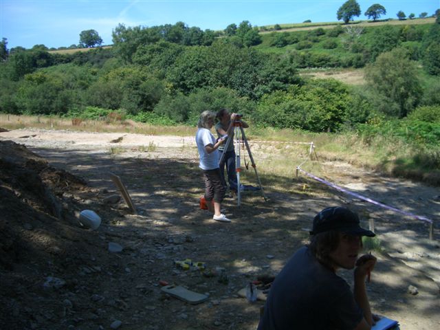
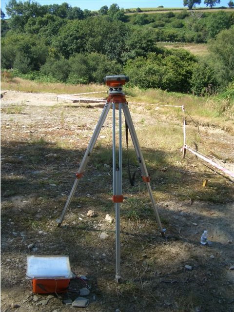
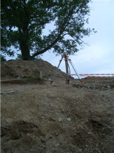
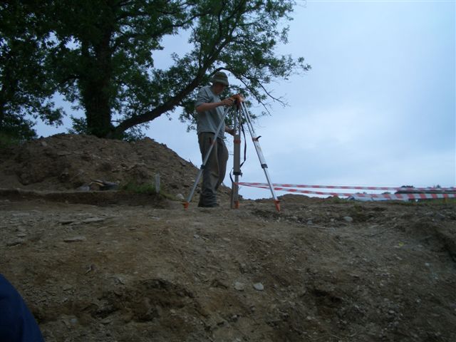
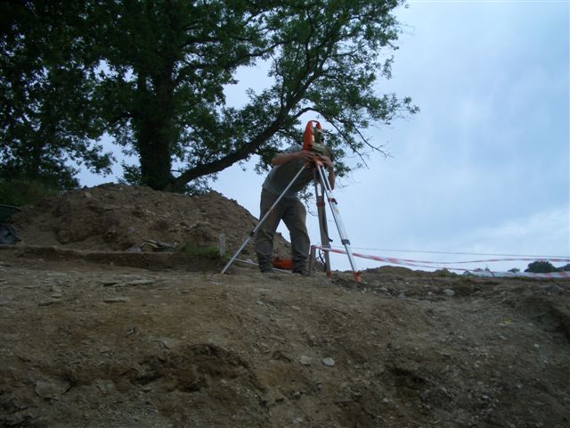
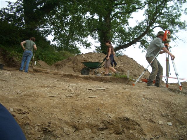
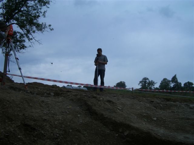
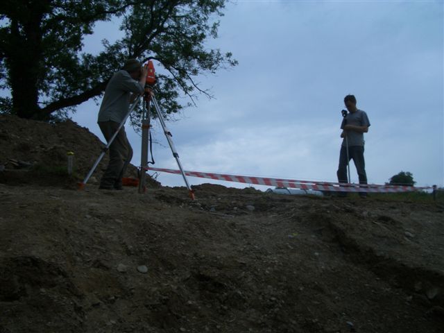
Dumpy level
The dumpy level, set up on a tripod you have to configurate carefully, will give you the ground level in strategical points you have previously chosen.
We use it during the survey phase.
How it works: while you look in the telescope of the dumpy, your team mate will hold a graduated stick, and then you just have to substract the
result with the high of the tripod and record the ground level in your notebook.
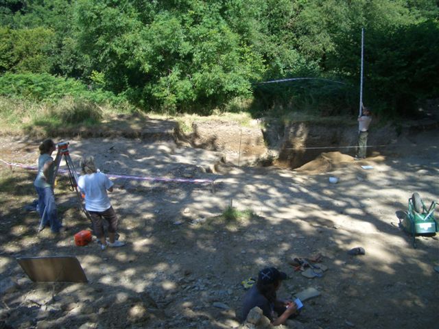
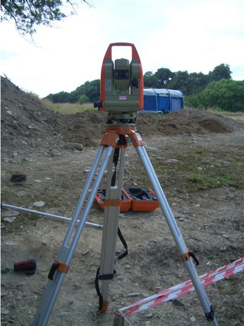
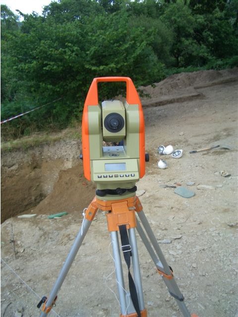
TST
The TST itself
|
|
|
|
TST stands for 'Total Station Theodolite' and is, as the dumpy level, used for the survey.
|
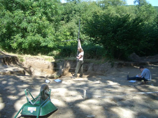
Preparation
|
|
|
|
It also has to be carefully set up.
|
Stick
|
|
|
|
But it's more modern: it is electronical and will give you tri dimensionnal coordonnees of your point just by reflecting its laser in a stick hold by your team mate.
|
Views